
May 7, 2026
Dreaming about a home where the water shapes your daily routine? In Tarpon Springs and nearby Port Richey, waterfront living is less about long stretches of sandy beach and more about boat access, dockage, bayou views, and time on the water. If you are comparing these two Gulf Coast areas, this guide will help you understand the lifestyle, housing patterns, and practical issues that matter most before you buy. Let’s dive in.
Tarpon Springs has a waterfront identity that feels closely tied to its working harbor and Sponge Docks. The city describes this area as a regional destination with deep roots in its Greek sponging community, and that local history still shapes how the waterfront feels today.
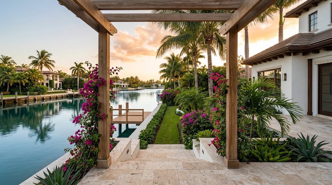
If you are drawn to a place where boating and marina activity are part of the everyday backdrop, Tarpon Springs often stands out. The appeal here is usually not traditional oceanfront living. It is more about being close to channels, launches, docks, and active waterfront areas.
Tarpon Springs offers a city marina at 100 Dodecanese Boulevard with long-term and transient dockage. The marina also includes 30 and 50 amp electric service, restrooms, showers, parking, and a local channels navigation chart.
The city also provides boat launches at Craig Park and Sunset Beach. Craig Park includes a saltwater boat launch and a scenic walkway around Spring Bayou, while North Anclote River Nature Park offers a fishing pier and canoe launch.
For buyers who want a more marina-oriented setup, Tarpon Springs reads as the stronger fit. That impression comes from the city’s mix of marina services, launch access, and boating resources for owners.
Port Richey has a different kind of waterfront character. Its identity centers on the Pithlachascotee River, Millers Bayou, and Gulf-facing recreation, with the city describing the waterfront as central to its history, tourism, and recreation economy.
For many buyers, Port Richey feels more intimate and more tied to river and bayou access. It still offers boating opportunities, but the overall experience leans more toward smaller-scale water recreation and day-to-day access to natural waterfront spaces.
Nick’s Park is the city’s only boat ramp, and trailer parking there is limited. The same park also offers a dock and fishing, which can make it useful for casual waterfront use.
Port Richey also has a kayak launch at Waterfront Park, a non-motorized boat-loading area at Brasher Park, and waterside access at Oelsner Park. Nearby, Werner-Boyce Salt Springs State Park adds more opportunities for kayaking, canoeing, fishing, hiking, and paddling through inlets, bayous, salt marsh, and open waterways.
If your ideal waterfront day involves kayaks, paddlecraft, fishing, and exploring sheltered water routes, Port Richey may feel like a natural match. Compared with Tarpon Springs, it tends to read as less marina-focused and more centered on river and bayou recreation.
Both markets offer a waterfront lifestyle, but they do not deliver it in exactly the same way. The best fit depends on how you want to use the water and what kind of setting feels right to you.
| Feature | Tarpon Springs | Port Richey |
|---|---|---|
| Waterfront identity | Working waterfront and Sponge Docks | River, bayou, and Gulf recreation |
| Boating feel | More marina-oriented | More small-craft and paddling-oriented |
| Public access highlights | City marina, Craig Park, Sunset Beach | Nick’s Park, Waterfront Park, Brasher Park |
| Typical appeal | Dockage, launch access, active waterfront setting | Bayou access, paddling, fishing, natural water routes |
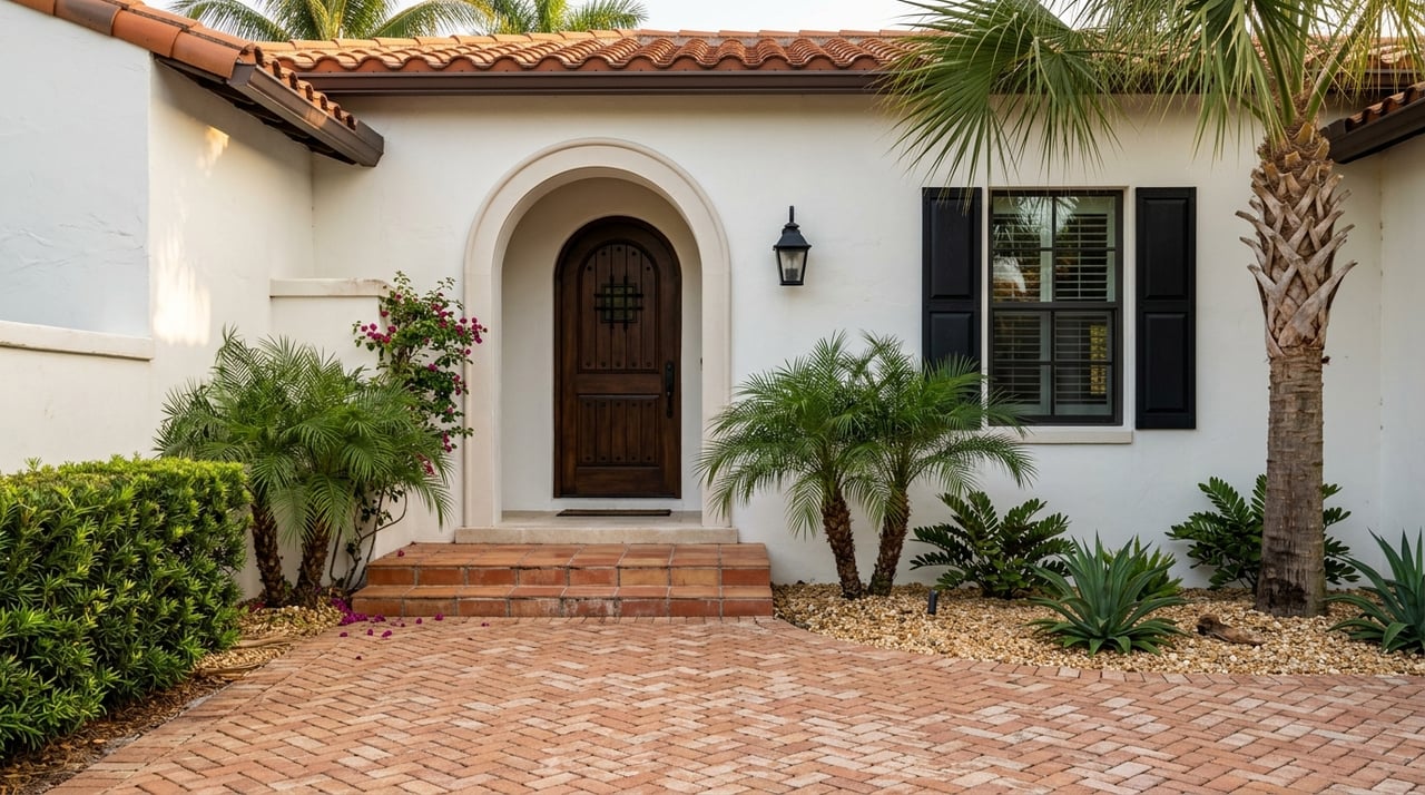
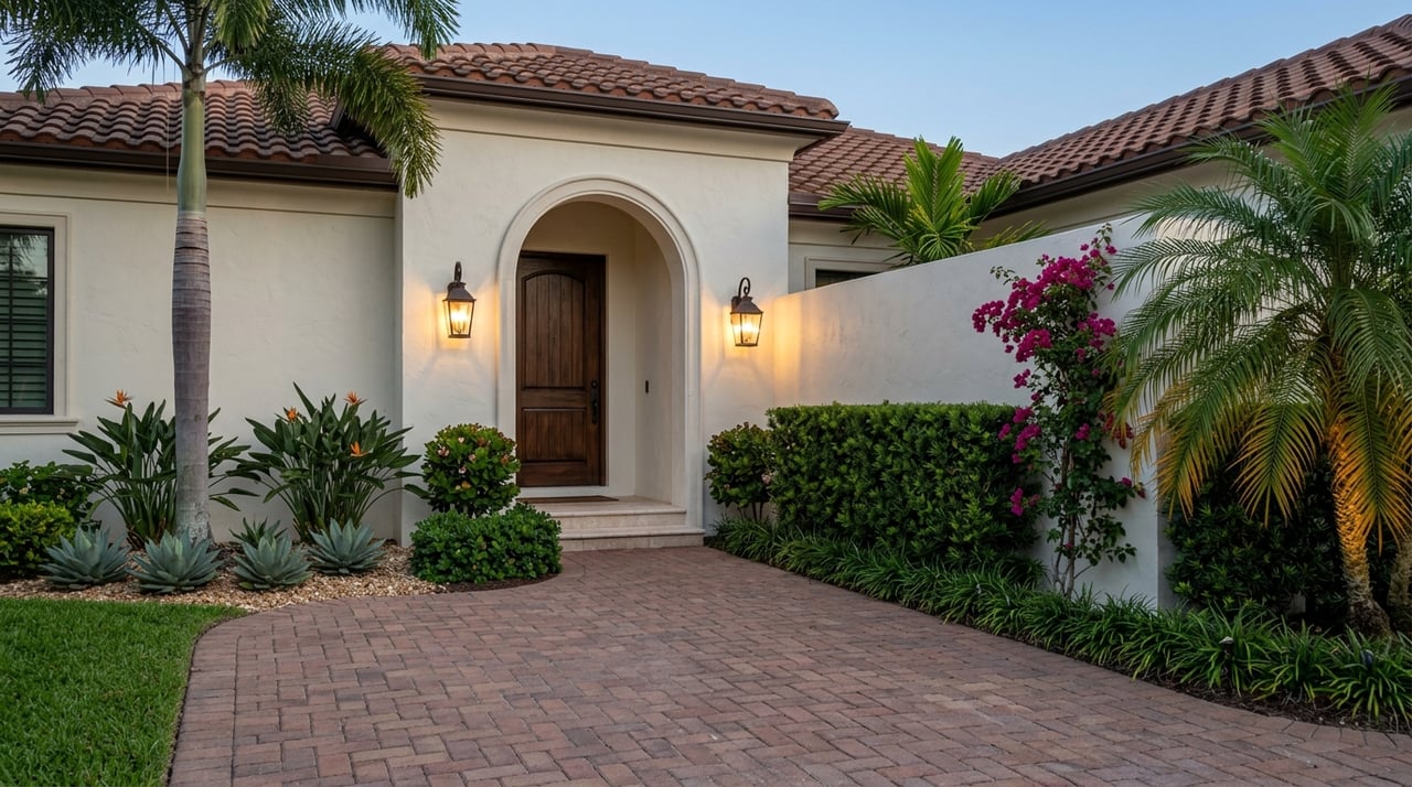
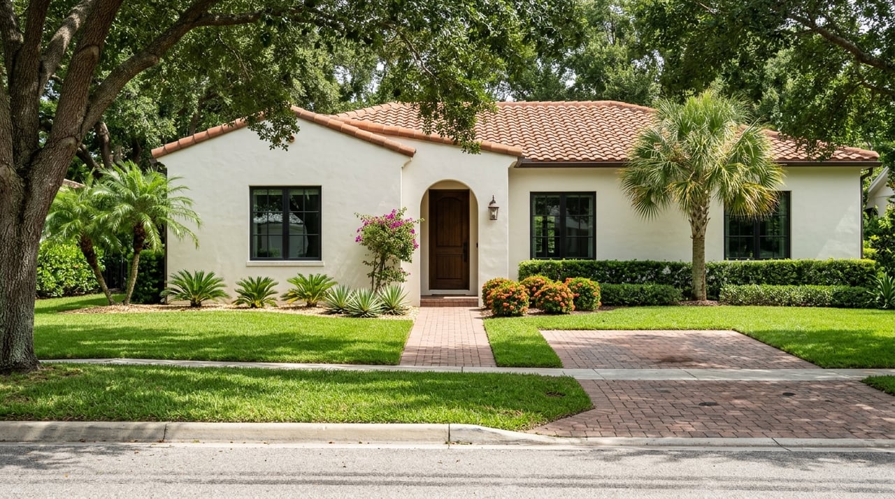
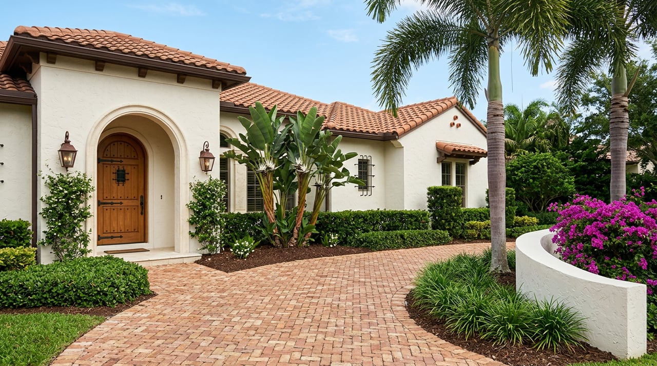
In both areas, you should generally expect low-rise Florida housing tied to water access, not high-rise oceanfront living. The exact mix can vary block by block and parcel by parcel, so it helps to look at each property individually rather than assume the whole area follows one pattern.
Tarpon Springs land-use guidance suggests a mix of marina facilities, commercial dockage, boat and small-watercraft rental uses, limited single-family detached dwellings, and some mixed-use or residential development near the waterfront. In plain terms, that points to a varied housing environment rather than one uniform product type.
You may see older single-family homes, marina-adjacent properties, and some mixed-use buildings near commercial waterfront corridors. That variety can be appealing if you want options, but it also means one street can feel very different from the next.
Port Richey’s waterfront planning area is largely Commercial Mixed Use, with residential and office uses built into that category. The city’s Waterfront Overlay District was created to guide redevelopment, water-dependent uses, and public access.
The city also maintains elevation-certificate records for several water-adjacent streets, including Marina Palms Drive, Waterside Drive, River Gulf Drive, Bayview Street, and Miller Bayou Drive. That suggests a housing stock with many water-adjacent blocks, along with mixed-use areas near the city core.
Waterfront living can be rewarding, but it also comes with extra homework. In both Tarpon Springs and Port Richey, flood risk, insurance, and elevation standards should be part of your review early in the buying process.
Tarpon Springs maps several local flood designations, including X shaded, X unshaded, AE 6-12, Coastal A Zone 10-12, and VE 12-16. The city also notes that chronic tidal flooding can affect low-lying areas, especially during spring or king tides, with examples including Dodecanese Boulevard and Canal Street.
The city further states that new construction in coastal hazard areas can face elevation standards above the baseline Florida Building Code. In practical terms, that can affect first-floor height, entry design, and garage layout.
Port Richey requires elevation certificates for new construction and substantial improvements. The city also notes that if a building in a Special Flood Hazard Area is damaged or improved beyond 50 percent of market value in a year, the 50 percent Rule may require the structure to be elevated to current standards.
The city also makes two points buyers should not overlook. Standard homeowner’s insurance does not cover flooding, and flood insurance usually takes up to 30 days to become effective.
Before you move forward on any waterfront property in Tarpon Springs or Port Richey, review these items on a parcel-specific basis:
This type of review can help you compare properties more clearly and avoid surprises later.
If you picture your waterfront lifestyle around marina access, launches, and a working waterfront atmosphere, Tarpon Springs may be the better fit. Its marina amenities, Sponge Docks setting, and boating infrastructure make it feel especially connected to life on the water.
If you prefer a smaller-scale waterfront setting built around rivers, bayous, paddling, and casual fishing access, Port Richey may feel more comfortable. Its parks and nearby state park resources support a water-focused lifestyle that is active but often quieter in tone.
Either way, the right choice usually comes down to how you want to spend your time and how carefully a property’s flood and site conditions line up with your goals. That is where local guidance and property-level analysis really matter.
When you are ready to compare waterfront options in Tarpon Springs or Port Richey, Track Ventures LLC d/b/a Rand Wilson Group can help you evaluate the lifestyle fit, review property details, and move forward with clarity.
Stay up to date on the latest real estate trends.
We are committed to guiding you every step of the way—whether you're buying a home, selling a property, or securing a mortgage. Whatever your needs, I've got you covered.
Rand Wilson Group
1905 Market Street #12, Tampa, FL 33602